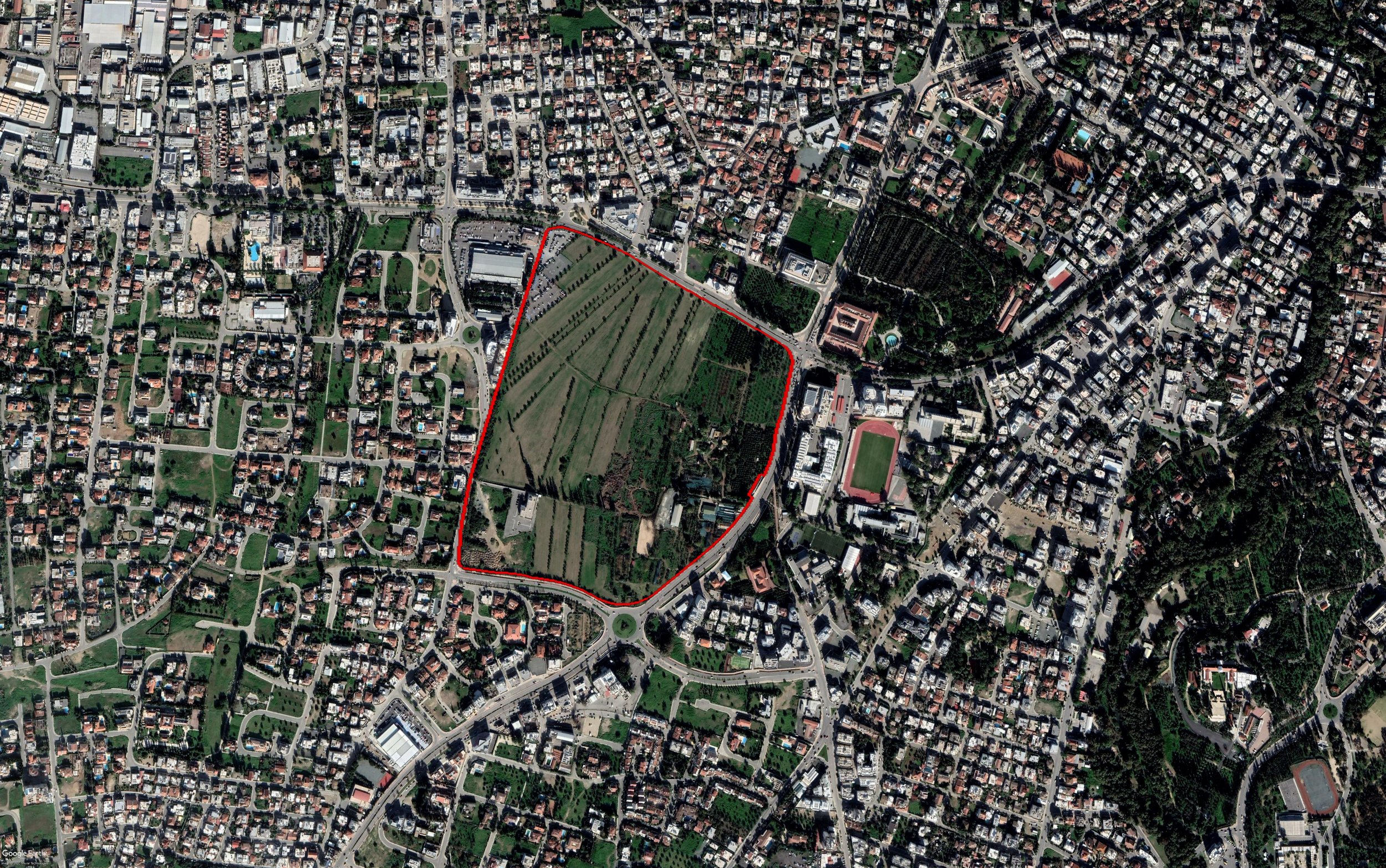
The proposed Project concerned the division of a large plot of land in the heart of the municipality of Egkomi, in Nicosia, and the implementation of a Master Plan in the divided plots. The uses included in the proposed Master Plan comprised residential, touristic, office, educational, medical, and retail developments.
ALA was awarded the preparation of the Environmental Impact Assessment (EIA) Study of the Project, along with the preparation of a Hydrological Survey, as well as a Traffic Impact Assessment Study.
The scope of the EIA Study was to assess the potential environmental impacts from the proposed division of land into smaller plots and the implementation of the proposed Master Plan. The scope of the Hydrological Survey was to examine the land, surface water and groundwater conditions and flows, and to provide relevant measures to allow for groundwater recharge to take place, avoiding potential flooding hazards.
The EIA Study included a desk study, data collection and analysis, consultation with Competent Authorities, execution of site visits, onsite data, mapping of environmental data and flora and fauna surveys.
The fauna and bird surveys were carried out at the full scale of the plot under study, and they were based on visual and auditory detection of birds, bird nests and other ecologically significant zoo taxa. Night surveys were also carried out.
With regards to the Hydrological Survey, the scope of the study comprised description of the existing stormwater management system of the area, assessment of how it will be affected by the proposed land division, identification and sizing of the necessary flood protection works (to prevent flood risks within a 50-year return period due to watercourse flow and 5-10-year return period for stormwater flow from small catchments), proposal of appropriate sustainable stormwater management systems.


